New General Master Plan Defining The Borders of Zografou Municipality & Revision of The Existing One
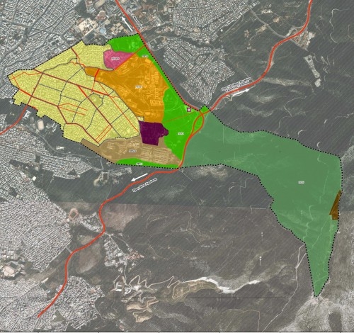
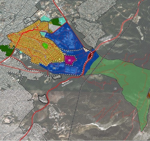
The study deals with the definition of the borders of Zografou Municipality with the bordering municipalities and the preservation zone of Hymettus mountain, as well as with the revision of the existing, since 1985, General Master Plan.
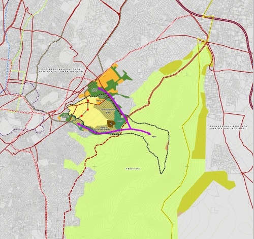
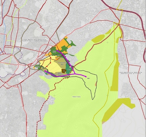
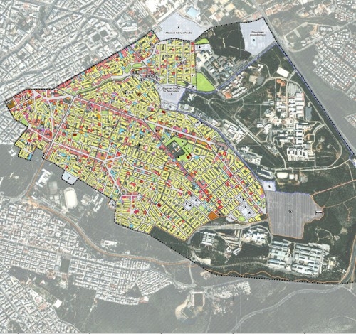
The Municipality of Zografou has a peculiarity: more than half or its official area is covered by restricted preservation zones of the mountain of Hymettus. The urban area is not only confined by the Hymettus mountain, but also by large areas allocated to the Technical University and the Athens University building complexes.
The borders of the area of Zografou Municipality were not clearly defined, as there were disputable pockets both with the surrounding municipalities and the Hymettus preservation Zone.
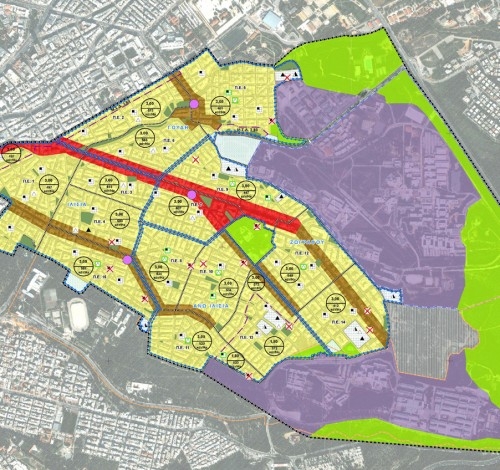
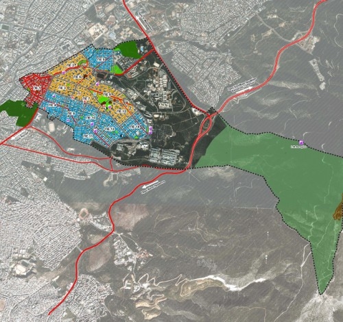
The present study: a) clarifies the status of these disputable areas, b) determines new Urban Units, according to the relative decree (15 U.U. instead of the existing 14), where everyday uses are prescribed, mainly kindergarten, nursery schools, playgrounds.c) determines groups of Urban Units, the Urban Communities (4 U.C., namely Ilissia, Goudi, Ano Ilissia and Zografou), where organized centers are located with more uses, necessary for the well being of the inhabitants, such as post offices, homes for elderly people, pharmacies, Citizens’ Centers, primary and secondary schools, athletic centers and the like. d) determines the City Center along Papagou Avenue for the public or private sector uses of higher order, especially commercial and entertainment ones.
Regarding the very serious problem of heavy traffic and scarcity of parking places, a new “smooth” circulation network is introduced, including special routes for bicycles within the urbanized area as well as within the Technical University area. The main circulation network has been reorganized, taking also into account the three new METRO stations of the future line 4, which will cross the area.
The very serious problem of parking is dealt with by thoroughly designing an efficient along- the- street curbs parking to accommodate as many private cars as possible, together with open air parking lots and underground garages. An important innovation to the circulation network is the proposed new underground access to the cemetery from the peripheral Katehaki-Alimou Road, since the cemetery is not of the exclusive use of Zofrafou Municipality. Thus, the through traffic is significantly relieved.
The population has been estimated for the year 2026 to be 99.000 people, without any possibility to increase the inhabited area of the municipality. However, although high densities and heavy traffic cannot be reduced, the entire urban space is now much better organized and all the necessary functions for a comfortable everyday life are provided, redistributed and located at the best places bearing in mind the restrictions imposed by the heavily built up area.
- The City of Zografou
- 2009
- €-
 English
 Ελληνικα